
Ugrade your drone AND your coverage • Time to add LIDAR to your portfolio
Ugrade your drone AND your coverage • Time to add LIDAR to your portfolio
-
![Quantum-Systems]()
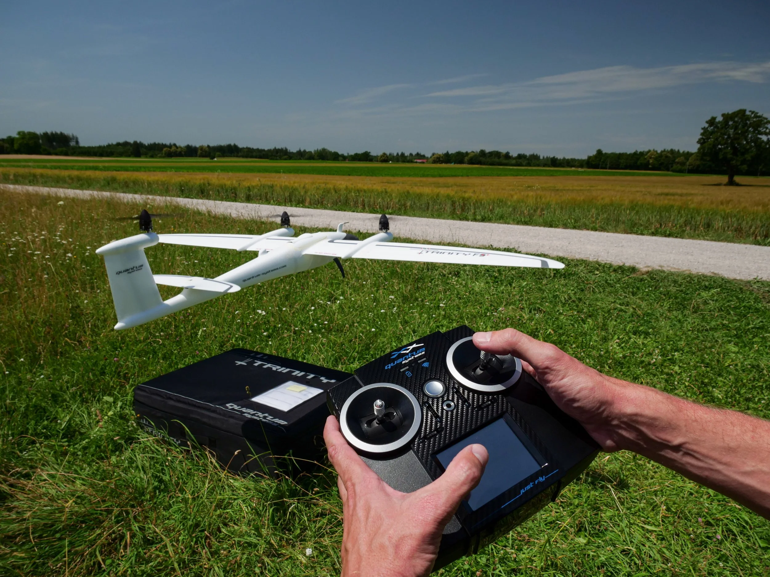
Quantum-Systems Trinity Pro
Next-generation eVTOL fixed-wing mapping drone
-
![quantum-systems trinity f90plus - buy at sky flight robotics]()
QUANTUM-SYSTEMS TRINITY F90+ The eVTOL fixed-wing mapping drone for professionals
Camera Integration done right - easily exchangeable and accessible. True Plug & Play in seconds!
-
![]()
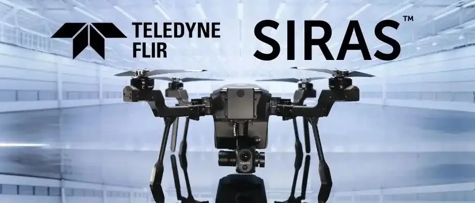
Teledyne FLIR SIRAS
Save time, lives, & budget with Teledyne FLIR SIRAS
-
![Draganflyer Commander2 - Buy at Sky Flight Robotics]()
DRAGANFLYER COMMANDER 2
THE EASE OF A TURNKEY SOLUTION WITH THE FLEXIBILITY OF CUSTOMIZATION.
PROUDLY NORTH AMERICAN - A SOLUTION FOR EVERY INDUSTRY.
-
![dji matrice 30 series - buy at sky flight robotics]()
A NEW GENERATION OF COMMERICAL DRONES
Powerful Flight Performances.
A balance of power and potability delivers higher operational efficiency.
-
![micasense rededge-p sensor - buy at sky flight robotics]()
MICASENSE - THE FOREFRONT OF DRONE SENSOR DEVELOPMENT.
We strive to get the right tools so you can make the right call at the right time.
-
![RedEdge Mount Kit - buy at sky flight robotics]()
FIND YOUR DRONE SOLUTIONS WITH CUSTOM PAYLOAD OPTIONS
SKY FLIGHT ROBOTICS INTEGRATION KITS


Performance • Reliability • Results
MicaSense series
Setting entirely new standards of excellence for multispectral imaging solutions, our innovative MicaSense sensors are the cameras of choice worldwide for advanced applications in agriculture, plant research, land management and forestry management.

MicaSense RedEdge-P
High-resolution RGB and multispectral sensor.
Sensor:
5 Multispectral bands + Panchromatic
GSD down to 2 cm (0.8 in) per pixel at 60 m (200 ft) AGL
Industry:
Agriculture
Environmental monitoring
Forestry
Land management
Research and education
Service providers
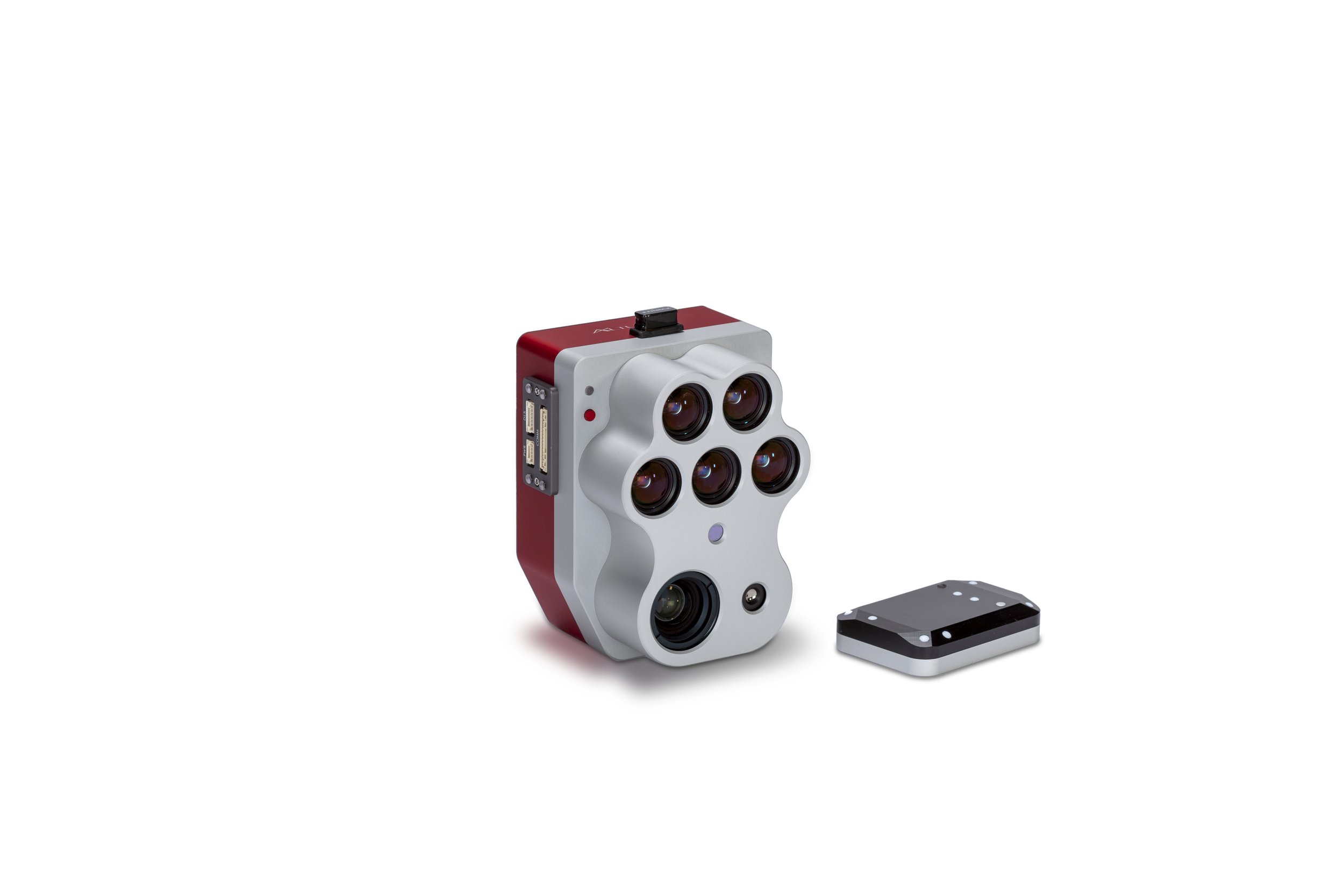
MicaSense Altum-PT
Synchronized thermal, multispectral, and RGB imagery at high resolution.
Sensor:
5 Multispectral bands + Panchromatic + Thermal
GSD down to 1.2 cm (0.47 in) per pixel at 60 m (200 ft) AGL
Industry:
Agriculture
Environmental monitoring
Forestry
Land management
Research and education
Service providers

