Sky Flight Robotics
Enterprise UAV Platforms for Mapping, Inspection & Public Safety
Sky Flight Robotics delivers advanced drone systems, payload integration, and mission-ready solutions for industrial and government operations.
INDUSTRIES WE SERVE
Our advanced drone and sensor solutions help professionals across critical industries work safer, smarter, and more efficiently.
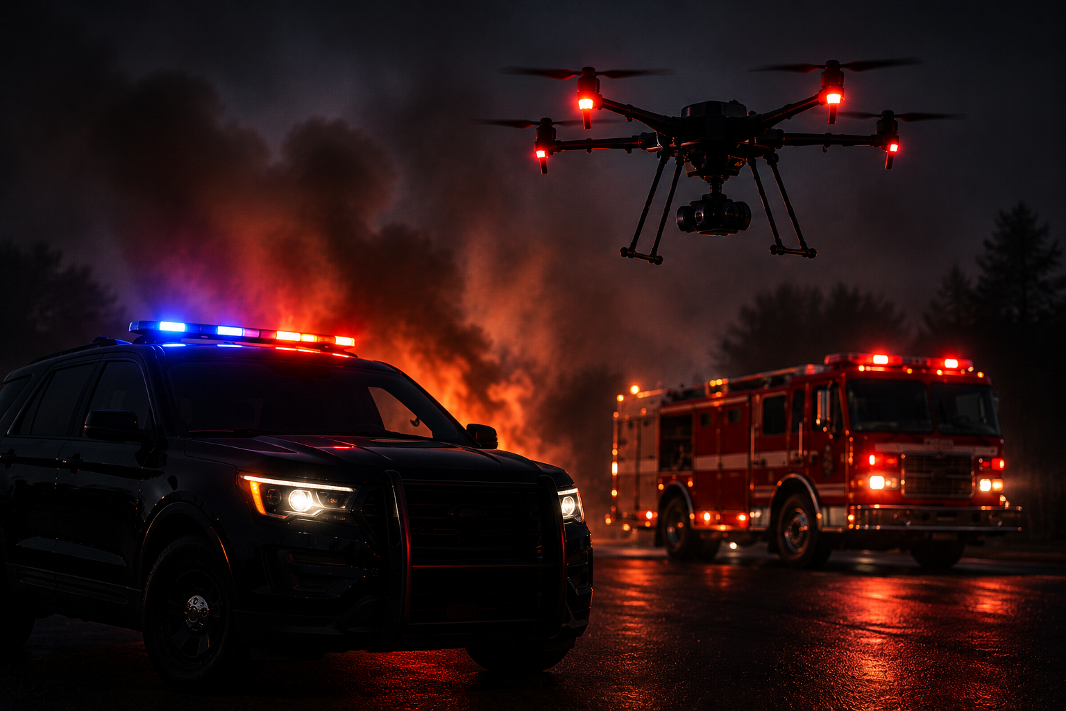
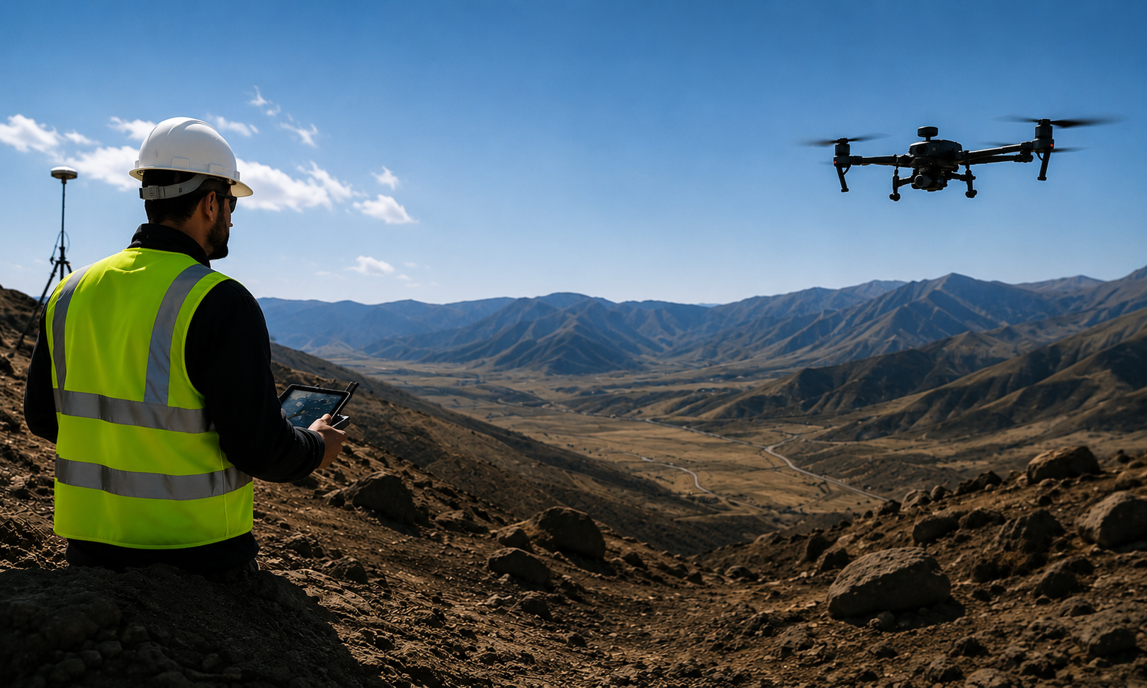
Pubic Safety
Advanced UAV systems for law
enforcement, fire departments,
search & rescue, and emergency
response operations.
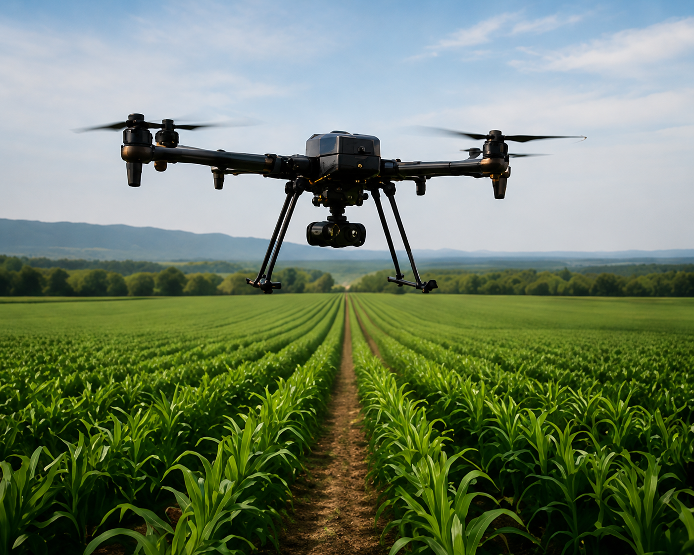
Agriculture
Precision agriculture solutions
for crop monitoring, spraying,
mapping, and multispectral
analysis.
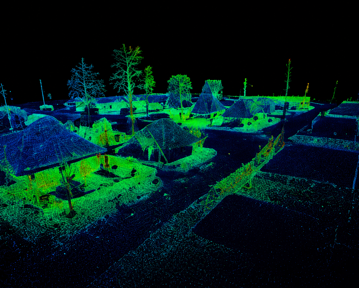
LiDAR & Mapping
High-accuracy aerial LiDAR and
photogrammetry for surveying.
infrastructure, and construction,
and GIS.
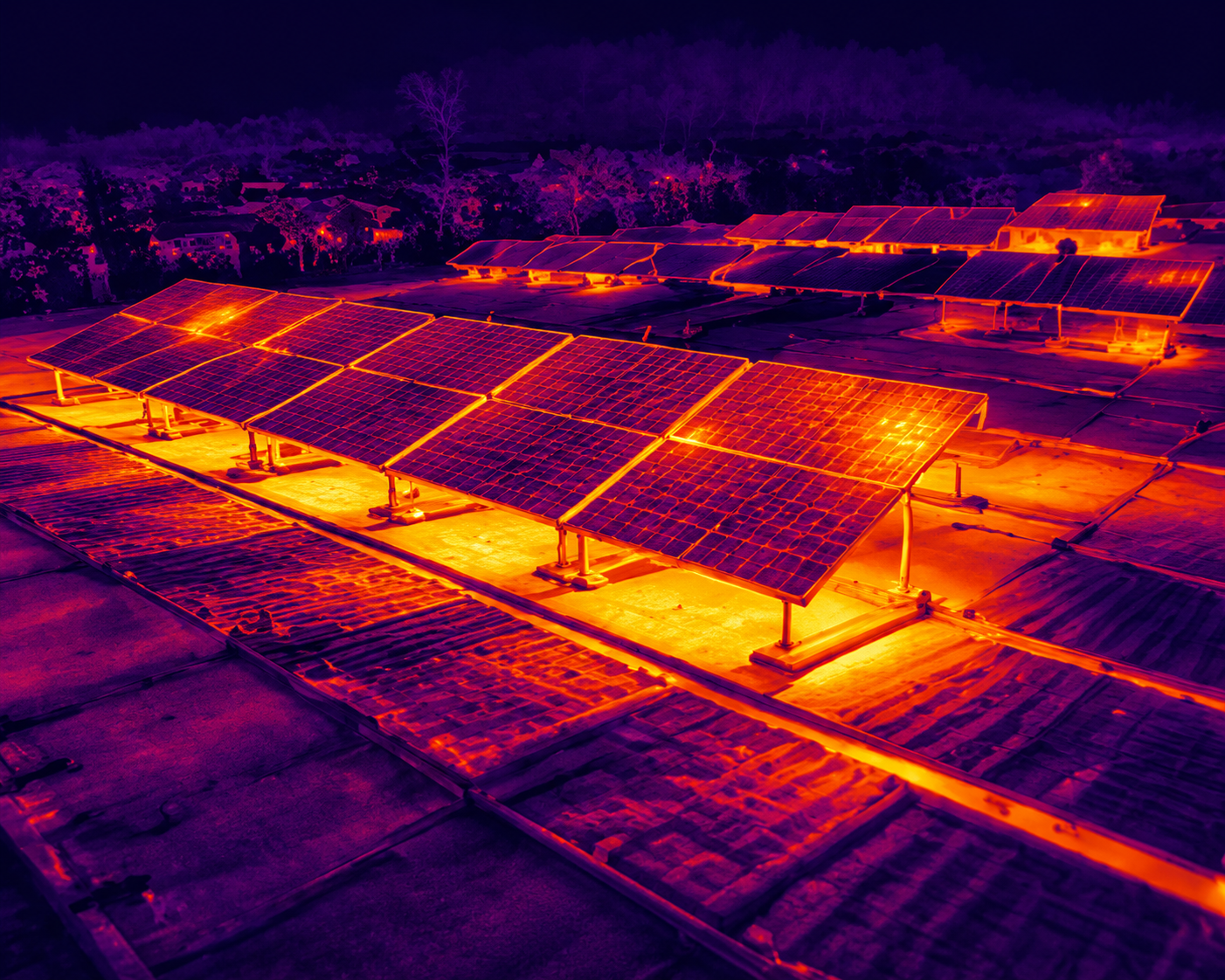
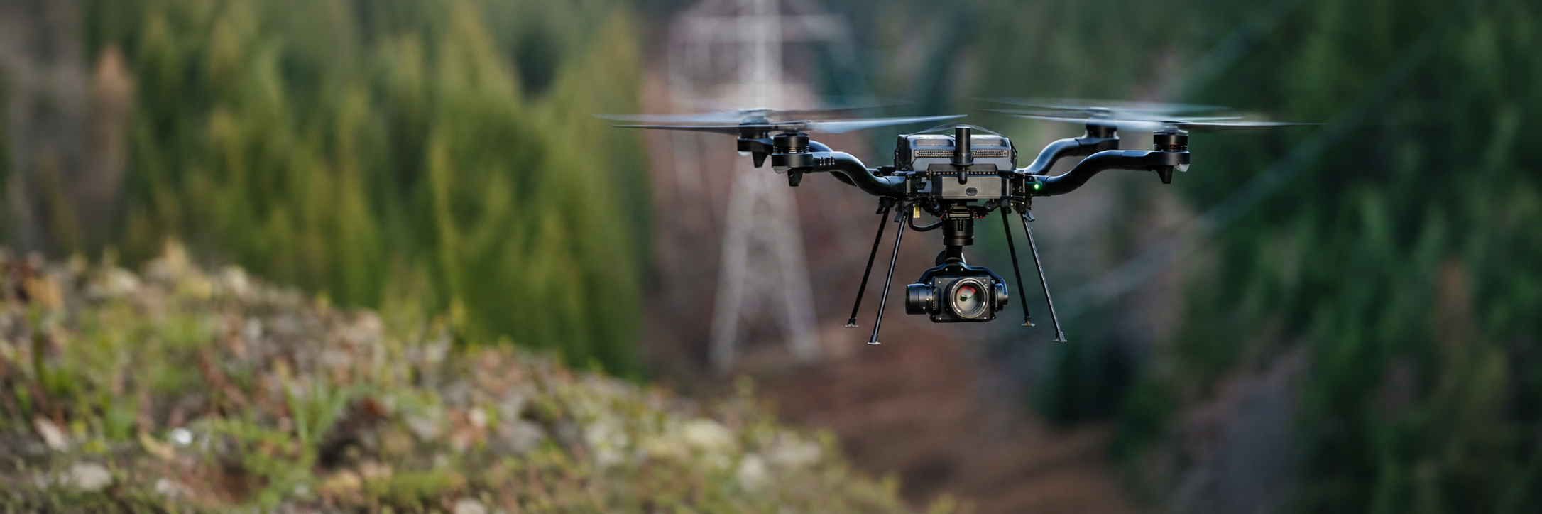
Thermal Inspection
Thermal drone systems for
utilities, inspections, roof
analysis, and critical
infrastructure.
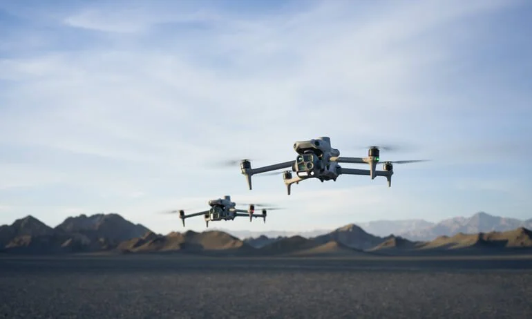
Featured Enterprise Drone Platforms
NDAA-compliant. Mission-ready. Built for mapping, inspection, and public safety operations.
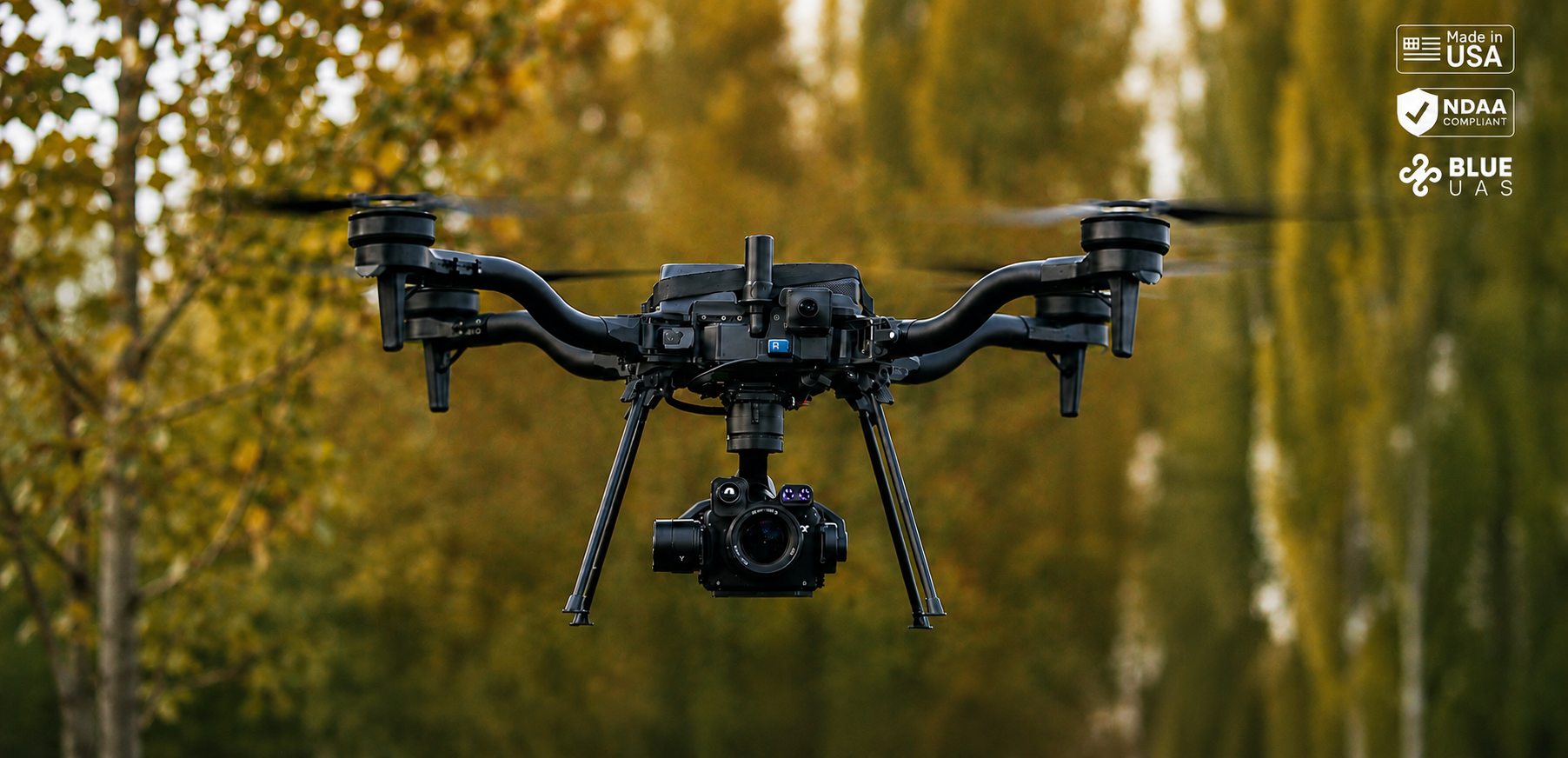
Freefly Astro Max
NDAA-compliant enterprise UAV platform
for mapping and industrial inspection.
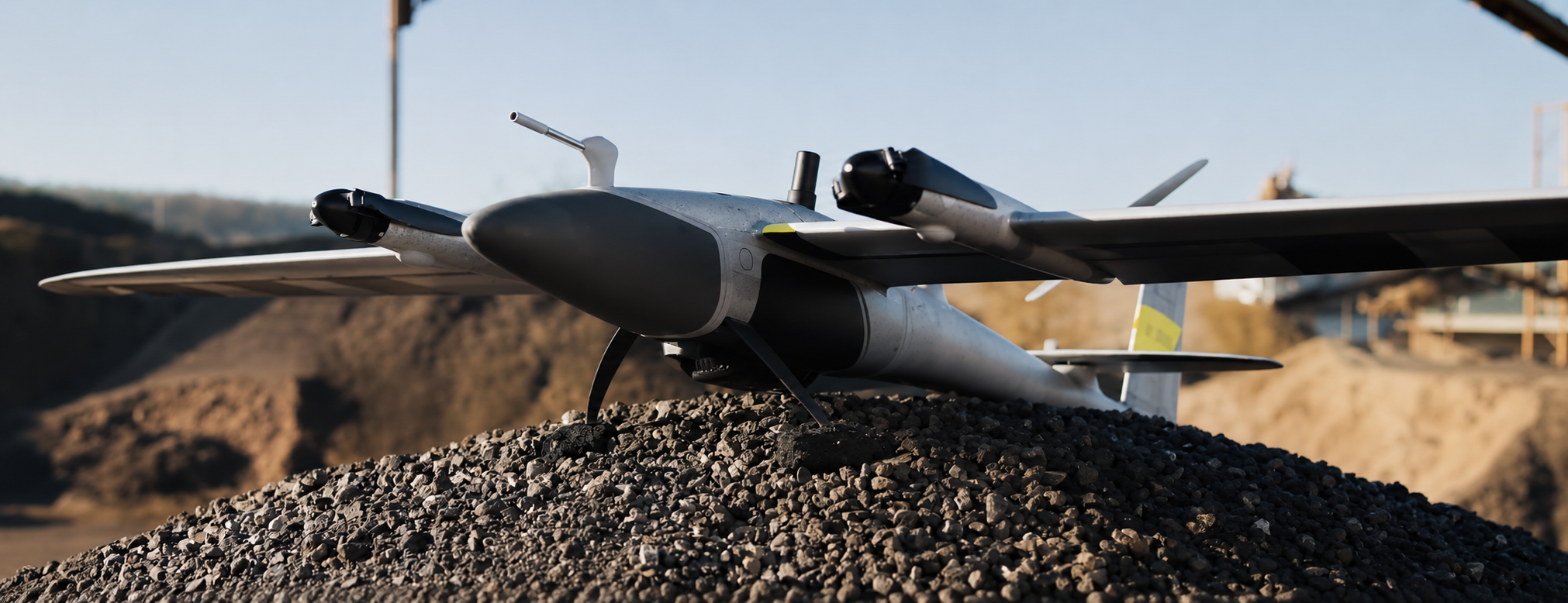
Quantum-Systems Trinity Pro
VTOL fixed-wing mapping platform for
surveying, LIDAR, and geospatial operation.
DJI Matrice 4 Series
Advanced thermal and multi-sensor drone
for inspection, public safety, and industrial missions.
Sky Flight Robotics
Sky Flight Robotics provides enterprise drone platforms, payload integration, and aerial data solutions for public safety, surveying, inspection, agriculture, and industrial operations throughout Michigan and nationwide.
NDAA & Blue Solutions
Trusted enterprise UAV platforms
designed for government and
critical infrastructure operations.
Advanced Sensors & Payloads
LIDAR, thermal imaging,
multispectral sensors, and
mapping payload systems.
Expert Product Guidance
Helping organizations select the
right drone planforms and payloads
for their mission requirements.
Ready to Elevate
Your Operations?
Contact our team today to find the right
drone solution for your mission.